Exploring the Grand Canyon


Requires a Wolfram Notebook System
Interact on desktop, mobile and cloud with the free Wolfram Player or other Wolfram Language products.
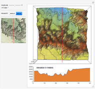
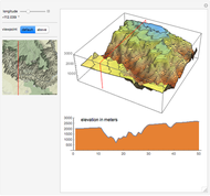
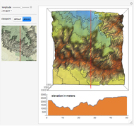
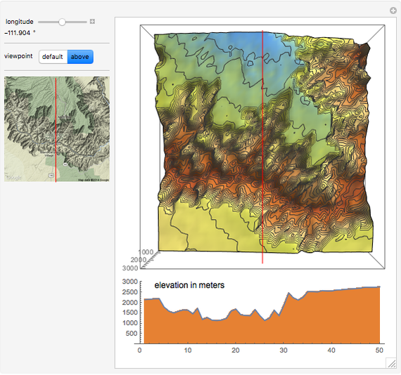
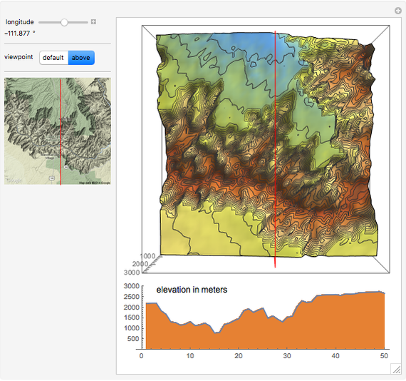
This Demonstration explores some elevation profiles of the geographical area around the Grand Canyon using data downloaded from the Google Maps Elevation API.
[more]

Contributed by: Erik Mahieu (April 2014)
Open content licensed under CC BY-NC-SA
Snapshots

Details
The elevation and location data can be extracted from [1].
The data for this Demonstration was collected with the URL: "http://maps.google.com/maps/api/elevation/json?sensor=false"<>"&paths="<>"&samples=21"
where "paths=" is a list of 2500 geolocations from a selected area of the Grand Canyon with longitudes between  and
and  and latitudes between
  and
and  .
.
Reference
[1] Google Developers. "The Google Elevation API." (Apr 21 2014) developers.google.com/maps/documentation/elevation.
Permanent Citation
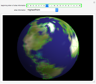 CountryData Globe with Tooltip Atlas
Rob Wood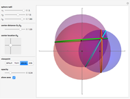 Trilateration and the Intersection of Three Spheres
Erik Mahieu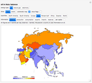 World Energy: Electricity, Oil, and Gas
Eugene Poberezkin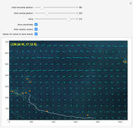 South Pacific Currents and Dispersion of Coconuts
Izidor Hafner Continental Plate Configurations through Time
Jeff Bryant World Bank Data Series Overview
Michael Schreiber Eratosthenes's Measure of the Earth's Circumference
Enrique Zeleny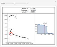 Gaps in GPS Data
Daniel de Souza Carvalho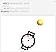 Wristwatch as a Compass
S. M. Blinder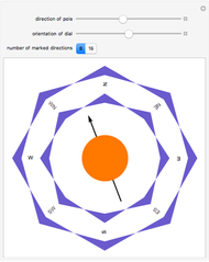 Orienting a Compass
Michael Schreiber
-
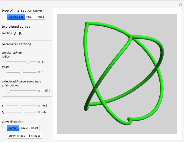 4. Ambiguous Rings Based on a Heart Curve
Erik Mahieu -
 3. Ambiguous Rings Based on a Rose Curve
Erik Mahieu -
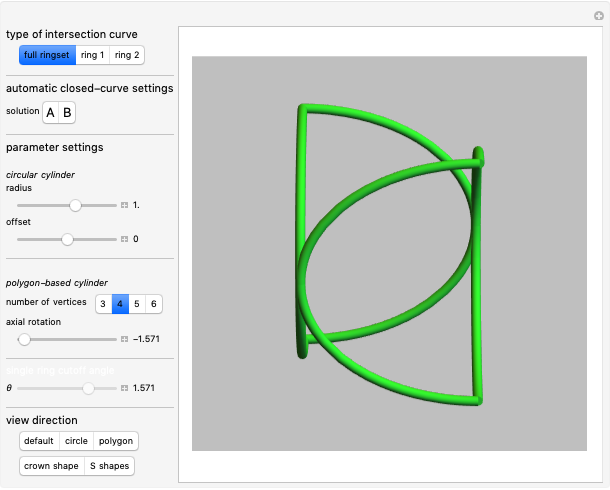 2. Ambiguous Rings Based on a Polygon
Erik Mahieu -
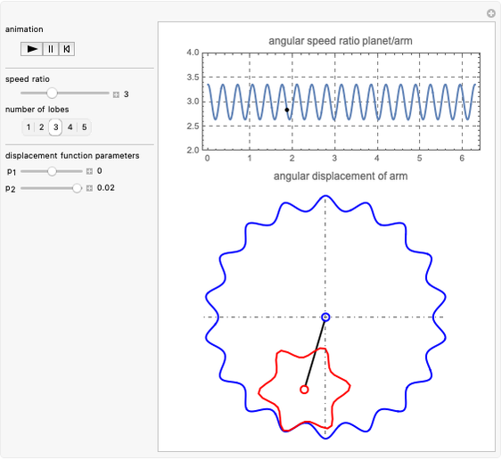 Noncircular Planetary Drive
Erik Mahieu -
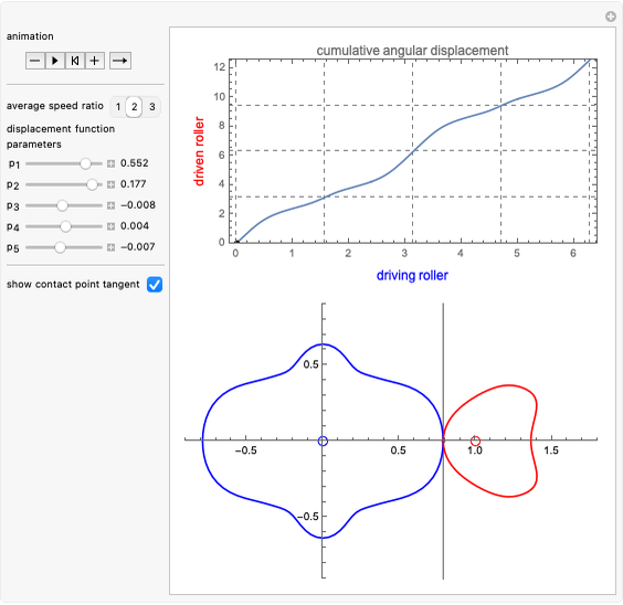 Noncircular Roller Drive
Erik Mahieu -
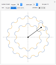 Planetary Gear Train
Erik Mahieu -
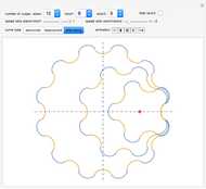 Rolling Cycloidal Curves
Erik Mahieu -
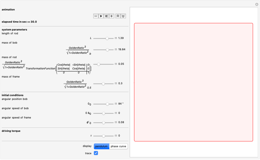 Driven Spherical Pendulum
Erik Mahieu -
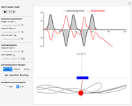 Automatic Feedback Control of a Pendulum-and-Cart System
Erik Mahieu -
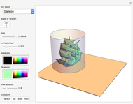
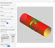 Intersection of a Generalized Cylinder over a Rose Curve with a Circular Cylinder
Erik Mahieu -
 1. Ambiguous Rings
Erik Mahieu -
 Elliptic Epitrochoid
Erik Mahieu -
 Intersection of Two Polygonal Cylinders
Erik Mahieu -
 Designs from Mechanical Linkages
Erik Mahieu -
 3D Extrusion Using the Frenet-Serret System
Erik Mahieu -
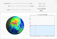 Daylight Calculator
Erik Mahieu -
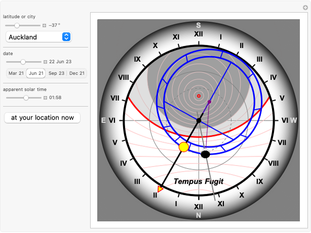 Astronomical Clock
Erik Mahieu -
 Cylindrical Anamorphosis of 3D Polygonal Meshes
Erik Mahieu -
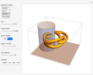 Cylindrical Anamorphosis of Parametric Surfaces
Erik Mahieu -
 Roulette (Hypotrochogon) of a Polygon Rolling inside a Circle
Erik Mahieu